East Howe: Methodist church
Introduction
The photograph on this page of East Howe: Methodist church by Chris Downer as part of the Geograph project.
The Geograph project started in 2005 with the aim of publishing, organising and preserving representative images for every square kilometre of Great Britain, Ireland and the Isle of Man.

There are currently over 7.5m images from over 14,400 individuals and you can help contribute to the project by visiting https://www.geograph.org.uk
East Howe: Methodist church
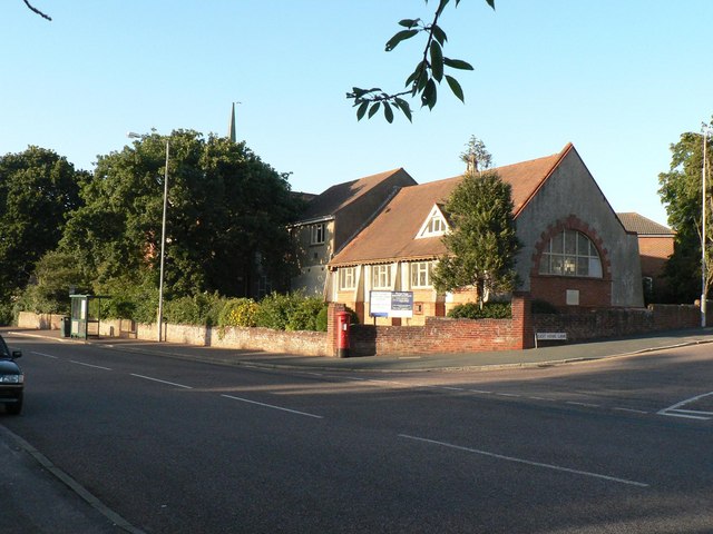
Image: © Chris Downer Taken: 3 Jul 2008
Situated on the corner of Kinson Road and (off to the right) East Howe Lane. Also in the picture is Image
Images are licensed for reuse under creativecommons.org/licenses/by-sa/2.0
Image Location
Latitude
50.758961
Longitude
-1.899997