Victoria Park, Stafford
Introduction
The photograph on this page of Victoria Park, Stafford by Simon Huguet as part of the Geograph project.
The Geograph project started in 2005 with the aim of publishing, organising and preserving representative images for every square kilometre of Great Britain, Ireland and the Isle of Man.

There are currently over 7.5m images from over 14,400 individuals and you can help contribute to the project by visiting https://www.geograph.org.uk
Victoria Park, Stafford
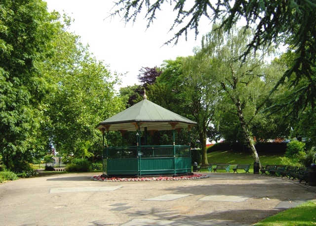
Image: © Simon Huguet Taken: 30 Jun 2008
Victoria Park straddles the river Sow. As its name suggests it is a classic town park from the turn of the C19th and C20th. It is a 'real' park with ordered municipal flowerbeds, an aviary, a bowling green, children's play area and paddling pool, hot house and a number of contemporary structures including this bandstand.
Images are licensed for reuse under creativecommons.org/licenses/by-sa/2.0
Image Location


Leaflet Map data © OpenStreetMap
Latitude
52.803414
Longitude
-2.120403