Upton Dyke
Introduction
The photograph on this page of Upton Dyke by RRRR NNNN as part of the Geograph project.
The Geograph project started in 2005 with the aim of publishing, organising and preserving representative images for every square kilometre of Great Britain, Ireland and the Isle of Man.

There are currently over 7.5m images from over 14,400 individuals and you can help contribute to the project by visiting https://www.geograph.org.uk
Upton Dyke
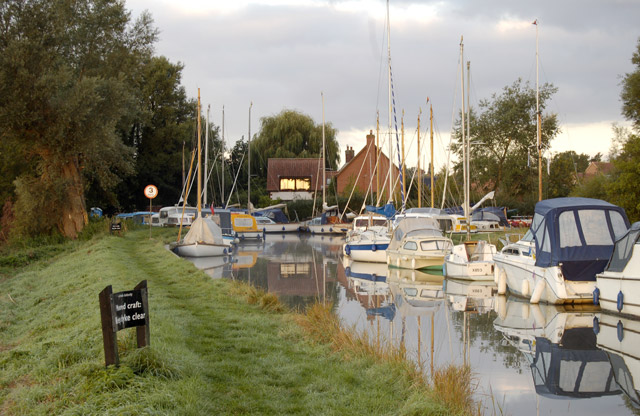
Image: © RRRR NNNN Taken: Unknown
Upton Dyke is a short offshoot from the River Bure, upstream of Acle Bridge. There are limited moorings for hire boats at the head of the dyke.
Images are licensed for reuse under creativecommons.org/licenses/by-sa/2.0
Image Location


Leaflet Map data © OpenStreetMap
Latitude
52.659546
Longitude
1.551549