View down Tremeyrick Street over Pembroke Dock
Introduction
The photograph on this page of View down Tremeyrick Street over Pembroke Dock by Colin Bell as part of the Geograph project.
The Geograph project started in 2005 with the aim of publishing, organising and preserving representative images for every square kilometre of Great Britain, Ireland and the Isle of Man.

There are currently over 7.5m images from over 14,400 individuals and you can help contribute to the project by visiting https://www.geograph.org.uk
View down Tremeyrick Street over Pembroke Dock
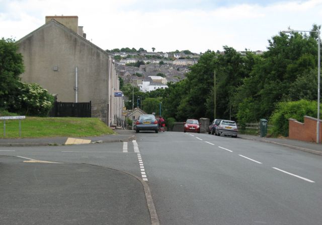
Image: © Colin Bell Taken: 16 Jun 2008
The headland at the north of Pembroke Dock sticking out into Milford Haven contains a deceptively steep hill, and this road descends it onto one of the main junctions in the town. The two buildings with rather extravagant roofs in the centre of the block visible are two of the numerous churches lumped together just south of the town centre.
Images are licensed for reuse under creativecommons.org/licenses/by-sa/2.0
Image Location
Latitude
51.696515
Longitude
-4.938216