Gallops at Well Bottom
Introduction
The photograph on this page of Gallops at Well Bottom by Bob Jones as part of the Geograph project.
The Geograph project started in 2005 with the aim of publishing, organising and preserving representative images for every square kilometre of Great Britain, Ireland and the Isle of Man.

There are currently over 7.5m images from over 14,400 individuals and you can help contribute to the project by visiting https://www.geograph.org.uk
Gallops at Well Bottom
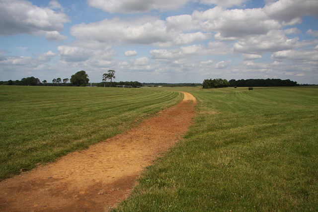
Image: © Bob Jones Taken: 30 Jun 2008
The area known as the Limekilns, a triangular area between the A1304 and the B1506, is used by racehorses for training. The small wooded area is Square Plantation.
Images are licensed for reuse under creativecommons.org/licenses/by-sa/2.0
Image Location


Leaflet Map data © OpenStreetMap
Latitude
52.26468
Longitude
0.452796