Start of exercise track, Well Bottom
Introduction
The photograph on this page of Start of exercise track, Well Bottom by Bob Jones as part of the Geograph project.
The Geograph project started in 2005 with the aim of publishing, organising and preserving representative images for every square kilometre of Great Britain, Ireland and the Isle of Man.

There are currently over 7.5m images from over 14,400 individuals and you can help contribute to the project by visiting https://www.geograph.org.uk
Start of exercise track, Well Bottom
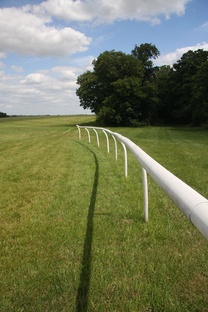
Image: © Bob Jones Taken: 30 Jun 2008
This view is immediately adjacent to the B1506, opposite Moulton Paddocks Stud Lodge. The rails are intended to prevent racehorses from getting too close to the road.
Images are licensed for reuse under creativecommons.org/licenses/by-sa/2.0
Image Location


Leaflet Map data © OpenStreetMap
Latitude
52.264045
Longitude
0.453054