Footpath under a bridge of the Alban Way in winter
Introduction
The photograph on this page of Footpath under a bridge of the Alban Way in winter by Peter Constable as part of the Geograph project.
The Geograph project started in 2005 with the aim of publishing, organising and preserving representative images for every square kilometre of Great Britain, Ireland and the Isle of Man.

There are currently over 7.5m images from over 14,400 individuals and you can help contribute to the project by visiting https://www.geograph.org.uk
Footpath under a bridge of the Alban Way in winter
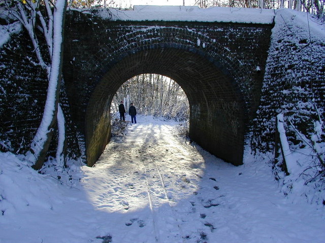
Image: © Peter Constable Taken: 31 Jan 2003
This footpath leading to the Verulam golf course and access lane to St Albans fishing club is a continuation of Riverside Road passing under the disused railway line between St Albans and Hatfield Alban Way footpath/cycle track
Images are licensed for reuse under creativecommons.org/licenses/by-sa/2.0
Image Location
Latitude
51.743622
Longitude
-0.330239