The River Ver passing under a bridge of the Alban Way
Introduction
The photograph on this page of The River Ver passing under a bridge of the Alban Way by Peter Constable as part of the Geograph project.
The Geograph project started in 2005 with the aim of publishing, organising and preserving representative images for every square kilometre of Great Britain, Ireland and the Isle of Man.

There are currently over 7.5m images from over 14,400 individuals and you can help contribute to the project by visiting https://www.geograph.org.uk
The River Ver passing under a bridge of the Alban Way
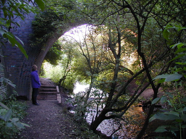
Image: © Peter Constable Taken: 16 Jul 2000
The river and footpath both go under the bridge of the disused railway line between St Albans and Hatfield now the footpath/cycle track called The Alban Way
Images are licensed for reuse under creativecommons.org/licenses/by-sa/2.0
Image Location
Latitude
51.742658
Longitude
-0.332013