Bridleway towards Lyminge
Introduction
The photograph on this page of Bridleway towards Lyminge by Nick Smith as part of the Geograph project.
The Geograph project started in 2005 with the aim of publishing, organising and preserving representative images for every square kilometre of Great Britain, Ireland and the Isle of Man.

There are currently over 7.5m images from over 14,400 individuals and you can help contribute to the project by visiting https://www.geograph.org.uk
Bridleway towards Lyminge
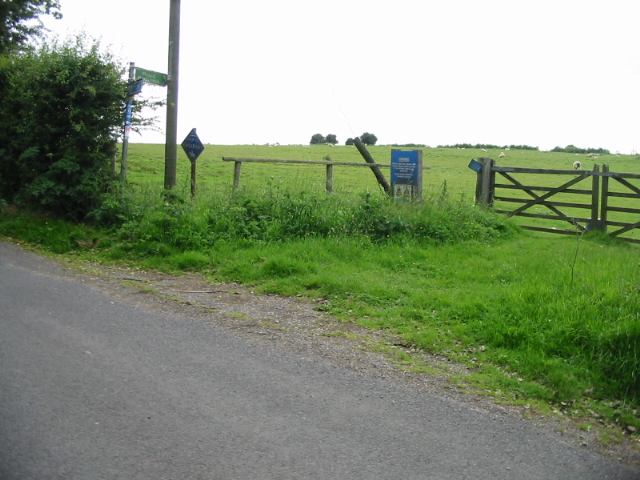
Image: © Nick Smith Taken: 20 Jun 2008
The bridleway heads to Lyminge via Great Shuttlesfield Farm across land used by the military for training, hence the signs on the fence and gate.
Images are licensed for reuse under creativecommons.org/licenses/by-sa/2.0
Image Location


Leaflet Map data © OpenStreetMap
Latitude
51.123094
Longitude
1.117293