Ridge leading to W Top of Park Hill, Reigate Abbey Park, Surrey
Introduction
The photograph on this page of Ridge leading to W Top of Park Hill, Reigate Abbey Park, Surrey by Pete Chapman as part of the Geograph project.
The Geograph project started in 2005 with the aim of publishing, organising and preserving representative images for every square kilometre of Great Britain, Ireland and the Isle of Man.

There are currently over 7.5m images from over 14,400 individuals and you can help contribute to the project by visiting https://www.geograph.org.uk
Ridge leading to W Top of Park Hill, Reigate Abbey Park, Surrey
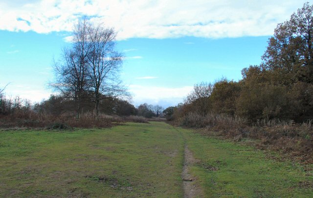
Image: © Pete Chapman Taken: 3 Dec 2005
Park Hill is a ridge stretching for 600m in an E-W direction. The hill occupies this grid square and the adjacent one Image The top of the ridge is quite flat, and gives good views in northerly and southerly directions. View taken looking W.
Images are licensed for reuse under creativecommons.org/licenses/by-sa/2.0
Image Location


Leaflet Map data © OpenStreetMap
Latitude
51.230173
Longitude
-0.215399