Site of the former BP service station, A419, Blunsdon
Introduction
The photograph on this page of Site of the former BP service station, A419, Blunsdon by Brian Robert Marshall as part of the Geograph project.
The Geograph project started in 2005 with the aim of publishing, organising and preserving representative images for every square kilometre of Great Britain, Ireland and the Isle of Man.

There are currently over 7.5m images from over 14,400 individuals and you can help contribute to the project by visiting https://www.geograph.org.uk
Site of the former BP service station, A419, Blunsdon
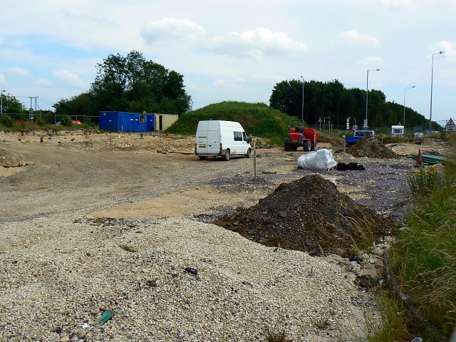
Image: © Brian Robert Marshall Taken: 1 Jul 2008
The south-bound carriageway for the Blunsdon by-pass will be coming through here in due course, certainly before the end of the year. Compare with the two previous images of this location here http://www.geograph.org.uk/photo/322996 and here http://www.geograph.org.uk/photo/272635
Images are licensed for reuse under creativecommons.org/licenses/by-sa/2.0
Image Location
Latitude
51.603954
Longitude
-1.780912