Croft Lane, Seaford
Introduction
The photograph on this page of Croft Lane, Seaford by Kevin Gordon as part of the Geograph project.
The Geograph project started in 2005 with the aim of publishing, organising and preserving representative images for every square kilometre of Great Britain, Ireland and the Isle of Man.

There are currently over 7.5m images from over 14,400 individuals and you can help contribute to the project by visiting https://www.geograph.org.uk
Croft Lane, Seaford
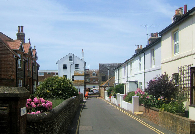
Image: © Kevin Gordon Taken: 30 Jun 2008
The building on the left are the Fitzgerald House Almshouses, The building in the centre is the rear of Hurdis House named after the poet the Rev. James Hurdis (1763-1801) This was formerly a doctors surgery and until 2006, the Town Hall for Seaford Town Council.
Images are licensed for reuse under creativecommons.org/licenses/by-sa/2.0
Image Location
Latitude
50.772157
Longitude
0.102684