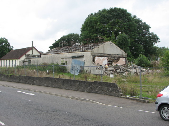
Disused poultry processing plant
Introduction
The photograph on this page of Disused poultry processing plant by Willie Duffin as part of the Geograph project.
The Geograph project started in 2005 with the aim of publishing, organising and preserving representative images for every square kilometre of Great Britain, Ireland and the Isle of Man.
There are currently over 7.5m images from over 14,400 individuals and you can help contribute to the project by visiting https://www.geograph.org.uk

Image: © Willie Duffin Taken: 13 Aug 2007
This is all that remains of Duffins poultry store, my Father's business until his death in the early 70s. The white building at the left is a recently constructed Elim Church and has no connection with the factory. The partially demolished building on the right was the cold store which had the refrigeration unit in a small lean-to at this end. The main building was used for storage and packaging of poultry for export to England and to retail outlets throughout N.Ireland. The flat roofed building at the far end was the "killing and plucking area" and also where the live chickens etc. were stored until time of execution.

