Lane Junction.
Introduction
The photograph on this page of Lane Junction. by John Holmes as part of the Geograph project.
The Geograph project started in 2005 with the aim of publishing, organising and preserving representative images for every square kilometre of Great Britain, Ireland and the Isle of Man.

There are currently over 7.5m images from over 14,400 individuals and you can help contribute to the project by visiting https://www.geograph.org.uk
Lane Junction.
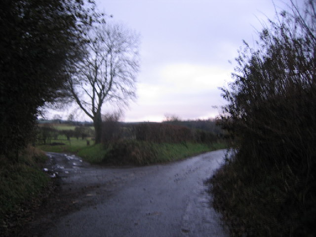
Image: © John Holmes Taken: 3 Dec 2005
The lane to the left used to go to the church now ruins.
Images are licensed for reuse under creativecommons.org/licenses/by-sa/2.0
Image Location


Leaflet Map data © OpenStreetMap
Latitude
54.742648
Longitude
-3.206909