Paddington Underground station (Bakerloo Line), W2
Introduction
The photograph on this page of Paddington Underground station (Bakerloo Line), W2 by Phillip Perry as part of the Geograph project.
The Geograph project started in 2005 with the aim of publishing, organising and preserving representative images for every square kilometre of Great Britain, Ireland and the Isle of Man.

There are currently over 7.5m images from over 14,400 individuals and you can help contribute to the project by visiting https://www.geograph.org.uk
Paddington Underground station (Bakerloo Line), W2
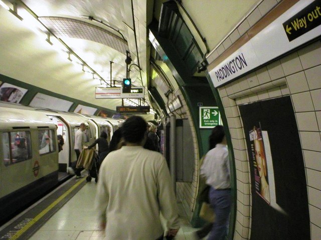
Image: © Phillip Perry Taken: 29 Feb 2004
There are 3 different Paddington stations. The mainline with the Hammersmith and City line on platforms 15 & 16. The Bakerloo Line which is underground and the District and Circle line platforms which are sub-surface and known as cut and cover. See also: Image
Images are licensed for reuse under creativecommons.org/licenses/by-sa/2.0
Image Location
Latitude
51.515715
Longitude
-0.176156