Fields near Norton sub Hamdon
Introduction
The photograph on this page of Fields near Norton sub Hamdon by Nigel Mykura as part of the Geograph project.
The Geograph project started in 2005 with the aim of publishing, organising and preserving representative images for every square kilometre of Great Britain, Ireland and the Isle of Man.

There are currently over 7.5m images from over 14,400 individuals and you can help contribute to the project by visiting https://www.geograph.org.uk
Fields near Norton sub Hamdon
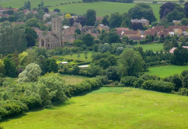
Image: © Nigel Mykura Taken: 28 Jun 2008
Looking SW towards Norton from the Norton car park on top of Ham Hill. The church at Norton which is just in ST4715 can be seen in the distance.
Images are licensed for reuse under creativecommons.org/licenses/by-sa/2.0
Image Location
Latitude
50.942279
Longitude
-2.751462