Moordown: postbox № BH9 335, Haverstock Road
Introduction
The photograph on this page of Moordown: postbox № BH9 335, Haverstock Road by Chris Downer as part of the Geograph project.
The Geograph project started in 2005 with the aim of publishing, organising and preserving representative images for every square kilometre of Great Britain, Ireland and the Isle of Man.

There are currently over 7.5m images from over 14,400 individuals and you can help contribute to the project by visiting https://www.geograph.org.uk
Moordown: postbox № BH9 335, Haverstock Road
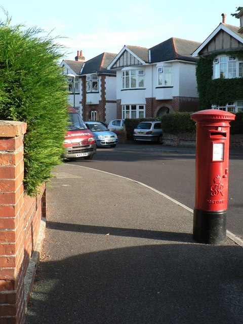
Image: © Chris Downer Taken: 30 Jun 2008
This George VI-reign box is on the corner of Haverstock Road and, er, Haverstock Road! All three sections of road that meet here are called that – the main thoroughfare to the north and southeast, and the short link road to the west. The postbox numbering sequence is quite a mystery – the first bit obviously refers to the postcode disstrict BH9 but I doubt that there are many more than 335 postboxes in the whole conurbation, let alone the BH9 district.
Images are licensed for reuse under creativecommons.org/licenses/by-sa/2.0
Image Location
Latitude
50.75335
Longitude
-1.864428