Kirk Hammerton Lodge
Introduction
The photograph on this page of Kirk Hammerton Lodge by David Rogers as part of the Geograph project.
The Geograph project started in 2005 with the aim of publishing, organising and preserving representative images for every square kilometre of Great Britain, Ireland and the Isle of Man.

There are currently over 7.5m images from over 14,400 individuals and you can help contribute to the project by visiting https://www.geograph.org.uk
Kirk Hammerton Lodge
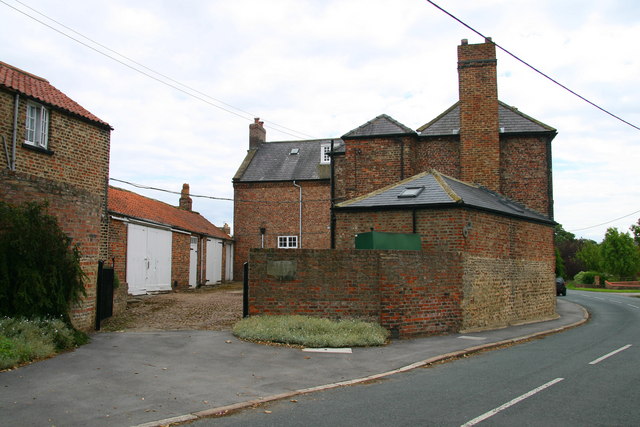
Image: © David Rogers Taken: 30 Jun 2008
Close to Home Farm on the western edge of the village, Kirk Hammerton Lodge has the date 1737 on the front wall of the building.
Images are licensed for reuse under creativecommons.org/licenses/by-sa/2.0
Image Location


Leaflet Map data © OpenStreetMap
Latitude
53.993482
Longitude
-1.296805