2008 : Wheatfield near Haydon
Introduction
The photograph on this page of 2008 : Wheatfield near Haydon by Maurice Pullin as part of the Geograph project.
The Geograph project started in 2005 with the aim of publishing, organising and preserving representative images for every square kilometre of Great Britain, Ireland and the Isle of Man.

There are currently over 7.5m images from over 14,400 individuals and you can help contribute to the project by visiting https://www.geograph.org.uk
2008 : Wheatfield near Haydon
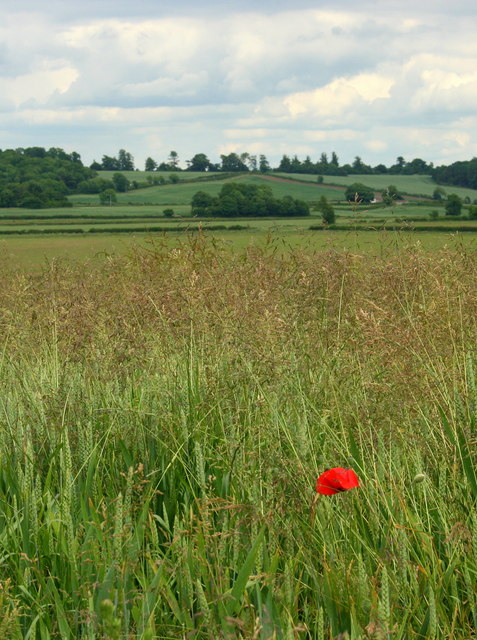
Image: © Maurice Pullin Taken: 17 Jun 2008
With a visitor. It would appear the farmer has not been using weedkiller - good for him. Between here and the far hill there is a fairly deep valley containing the disused railway between Frome and Radstock, well hidden in this shot.
Images are licensed for reuse under creativecommons.org/licenses/by-sa/2.0
Image Location


Leaflet Map data © OpenStreetMap
Latitude
51.279528
Longitude
-2.444401