Farmland north of Lutterworth Road
Introduction
The photograph on this page of Farmland north of Lutterworth Road by Mat Fascione as part of the Geograph project.
The Geograph project started in 2005 with the aim of publishing, organising and preserving representative images for every square kilometre of Great Britain, Ireland and the Isle of Man.

There are currently over 7.5m images from over 14,400 individuals and you can help contribute to the project by visiting https://www.geograph.org.uk
Farmland north of Lutterworth Road
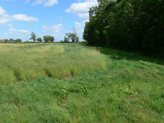
Image: © Mat Fascione Taken: 22 Jun 2008
The trees to the right are called The Belt and run along the northern side of Lutterworth Road.
Images are licensed for reuse under creativecommons.org/licenses/by-sa/2.0
Image Location


Leaflet Map data © OpenStreetMap
Latitude
52.450504
Longitude
-1.132395