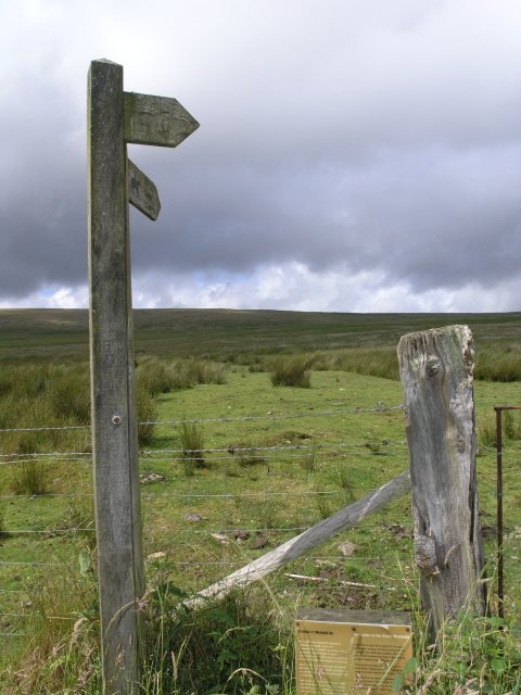
Signposts onto common land
Introduction
The photograph on this page of Signposts onto common land by Hywel Williams as part of the Geograph project.
The Geograph project started in 2005 with the aim of publishing, organising and preserving representative images for every square kilometre of Great Britain, Ireland and the Isle of Man.
There are currently over 7.5m images from over 14,400 individuals and you can help contribute to the project by visiting https://www.geograph.org.uk

Image: © Hywel Williams Taken: 29 Jun 2008
The signpost points in two directions - one is a footpath over a ford (and recently dismantled foot bridge) to nearby locations in Brynamman and the other out onto the Black Mountain. The latter is actually shown as a road that traverses the mountain on old maps, being presented as an equal to the tarmac road that runs in parallel not too far away. The old road's path can be followed throughout its course both on maps and on the ground, arriving at Image, though these days a nearby sign warns that no motor vehicles are allowed to use it!

