Auld Leckie Brig - Leckie Estate - Gargunnock
Introduction
The photograph on this page of Auld Leckie Brig - Leckie Estate - Gargunnock by John Henderson as part of the Geograph project.
The Geograph project started in 2005 with the aim of publishing, organising and preserving representative images for every square kilometre of Great Britain, Ireland and the Isle of Man.

There are currently over 7.5m images from over 14,400 individuals and you can help contribute to the project by visiting https://www.geograph.org.uk
Auld Leckie Brig - Leckie Estate - Gargunnock
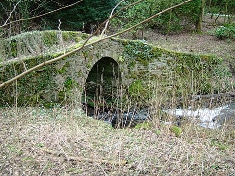
Image: © John Henderson Taken: Unknown
The Leckie Estate in the Parish of Gargunnock lies just south of the A811 about 6 miles West of Stirling. The old bridge crosses the Leckie Burn that runs down from the Gargunnock Hills to the River Forth.
Images are licensed for reuse under creativecommons.org/licenses/by-sa/2.0
Image Location


Leaflet Map data © OpenStreetMap
Latitude
56.125303
Longitude
-4.108163