Holloway, Oakham Common
Introduction
The photograph on this page of Holloway, Oakham Common by Simon Carey as part of the Geograph project.
The Geograph project started in 2005 with the aim of publishing, organising and preserving representative images for every square kilometre of Great Britain, Ireland and the Isle of Man.

There are currently over 7.5m images from over 14,400 individuals and you can help contribute to the project by visiting https://www.geograph.org.uk
Holloway, Oakham Common
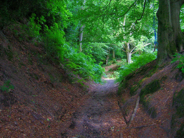
Image: © Simon Carey Taken: 28 Jun 2008
Quite a deep one at that. The track is a restricted byway that links Titty Hill with Stanhope Lane, at this point the byway which has been heading eastwards turns to the north.
Images are licensed for reuse under creativecommons.org/licenses/by-sa/2.0
Image Location


Leaflet Map data © OpenStreetMap
Latitude
51.015123
Longitude
-0.779668