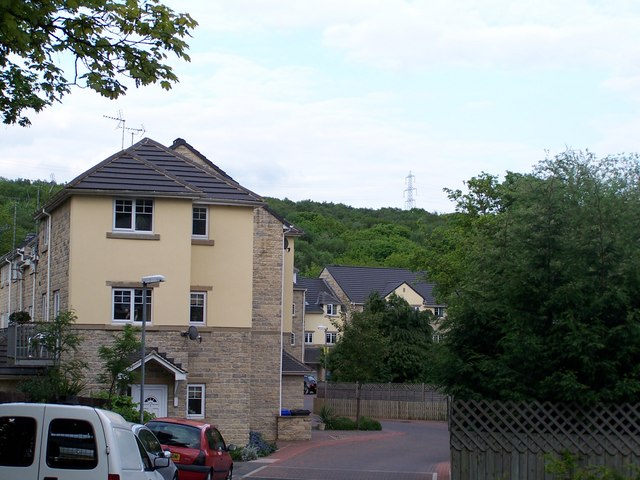
River Bank Estate (1), off Low Road, Oughtibridge
Introduction
The photograph on this page of River Bank Estate (1), off Low Road, Oughtibridge by Terry Robinson as part of the Geograph project.
The Geograph project started in 2005 with the aim of publishing, organising and preserving representative images for every square kilometre of Great Britain, Ireland and the Isle of Man.
There are currently over 7.5m images from over 14,400 individuals and you can help contribute to the project by visiting https://www.geograph.org.uk

Image: © Terry Robinson Taken: 19 May 2008
Oughtibridge is attracting lots of housing developments, such as this one and those on Low Road. In the main they are aimed at the modern executive and have proved popular. This development borders the River Don which runs to the left of this picture ... it is a good 30 metres below the level of the houses so they should be safe from any flooding. The rear of these houses have small balconies overlooking the river, but trees and undergrowth block most of the view. Image Image Image

