Looking down the full length of Battery Hill, Stanmore
Introduction
The photograph on this page of Looking down the full length of Battery Hill, Stanmore by Peter Facey as part of the Geograph project.
The Geograph project started in 2005 with the aim of publishing, organising and preserving representative images for every square kilometre of Great Britain, Ireland and the Isle of Man.

There are currently over 7.5m images from over 14,400 individuals and you can help contribute to the project by visiting https://www.geograph.org.uk
Looking down the full length of Battery Hill, Stanmore
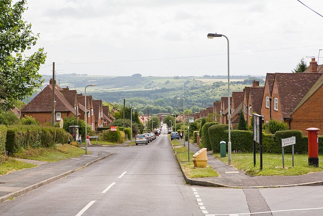
Image: © Peter Facey Taken: 29 Jun 2008
At the vanishing point, St Luke's church can be seen. The road in right foreground is Drayton Street.
Images are licensed for reuse under creativecommons.org/licenses/by-sa/2.0
Image Location
Latitude
51.054309
Longitude
-1.334513