Loch Long and Arrochar
Introduction
The photograph on this page of Loch Long and Arrochar by Andrew Smith as part of the Geograph project.
The Geograph project started in 2005 with the aim of publishing, organising and preserving representative images for every square kilometre of Great Britain, Ireland and the Isle of Man.

There are currently over 7.5m images from over 14,400 individuals and you can help contribute to the project by visiting https://www.geograph.org.uk
Loch Long and Arrochar
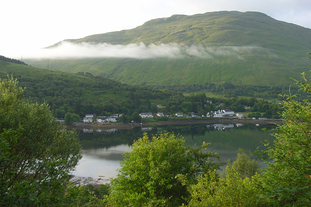
Image: © Andrew Smith Taken: 21 Jun 2008
A view across the head of the tidal loch from the start of the path to Beinn Narnain above Succoth. Ben Reoch is in the background beyond the ridge extending southwest from Cruach Taibeirt.
Images are licensed for reuse under creativecommons.org/licenses/by-sa/2.0
Image Location
Latitude
56.199845
Longitude
-4.746663