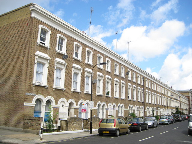
Fulham: Cedarne Road, SW6
Introduction
The photograph on this page of Fulham: Cedarne Road, SW6 by Nigel Cox as part of the Geograph project.
The Geograph project started in 2005 with the aim of publishing, organising and preserving representative images for every square kilometre of Great Britain, Ireland and the Isle of Man.
There are currently over 7.5m images from over 14,400 individuals and you can help contribute to the project by visiting https://www.geograph.org.uk

Image: © Nigel Cox Taken: 22 Jun 2008
This very neat and regular block of Victorian townhouses is off Fulham Broadway to its south. The Ordnance Survey map edition of 1869 shows them as being present with probably an identical block on the other side of the road which has since been demolished, possibly as the result of bomb damage as they were present in the 1938 edition of the mapping. The road name on the 1869 map, and on each successive edition up to and including the one of 1938, is definitely Cedar Road, so the change to Cedarne is comparatively recent.

