Kineton Lane
Introduction
The photograph on this page of Kineton Lane by David Stowell as part of the Geograph project.
The Geograph project started in 2005 with the aim of publishing, organising and preserving representative images for every square kilometre of Great Britain, Ireland and the Isle of Man.

There are currently over 7.5m images from over 14,400 individuals and you can help contribute to the project by visiting https://www.geograph.org.uk
Kineton Lane
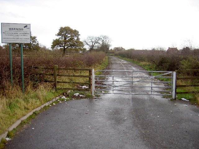
Image: © David Stowell Taken: 2 Dec 2005
As part of the M42 construction and Blythe Valley business park developments Kineton Lane was re-aligned to form a new junction with the Stratford Road. This short length of lane to the old junction at Box Trees was abandoned and gated off. Judging by the signs it also resulted in illegal tipping.
Images are licensed for reuse under creativecommons.org/licenses/by-sa/2.0
Image Location


Leaflet Map data © OpenStreetMap
Latitude
52.36566
Longitude
-1.787008