Creynolds Lane
Introduction
The photograph on this page of Creynolds Lane by David Stowell as part of the Geograph project.
The Geograph project started in 2005 with the aim of publishing, organising and preserving representative images for every square kilometre of Great Britain, Ireland and the Isle of Man.

There are currently over 7.5m images from over 14,400 individuals and you can help contribute to the project by visiting https://www.geograph.org.uk
Creynolds Lane
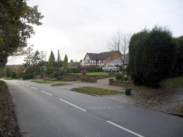
Image: © David Stowell Taken: 2 Dec 2005
Looking SW with housing to the right at the edge of Cheswick Green and open countryside to the left.
Images are licensed for reuse under creativecommons.org/licenses/by-sa/2.0
Image Location


Leaflet Map data © OpenStreetMap
Latitude
52.380082
Longitude
-1.808975