Looking along Mayflower Close, Chandler's Ford Industrial Estate
Introduction
The photograph on this page of Looking along Mayflower Close, Chandler's Ford Industrial Estate by Peter Facey as part of the Geograph project.
The Geograph project started in 2005 with the aim of publishing, organising and preserving representative images for every square kilometre of Great Britain, Ireland and the Isle of Man.

There are currently over 7.5m images from over 14,400 individuals and you can help contribute to the project by visiting https://www.geograph.org.uk
Looking along Mayflower Close, Chandler's Ford Industrial Estate
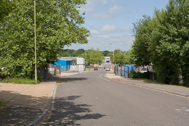
Image: © Peter Facey Taken: 28 Jun 2008
Mayflower Close and Eagle Close form three sides of a square of which the fourth side is School Lane. The two Closes join each other where the camera is, and hence neither of them is really a Close at all.
Images are licensed for reuse under creativecommons.org/licenses/by-sa/2.0
Image Location
Latitude
50.978733
Longitude
-1.393141