Junction of Bournemouth Road and Brickfield Lane, Chandler's Ford
Introduction
The photograph on this page of Junction of Bournemouth Road and Brickfield Lane, Chandler's Ford by Peter Facey as part of the Geograph project.
The Geograph project started in 2005 with the aim of publishing, organising and preserving representative images for every square kilometre of Great Britain, Ireland and the Isle of Man.

There are currently over 7.5m images from over 14,400 individuals and you can help contribute to the project by visiting https://www.geograph.org.uk
Junction of Bournemouth Road and Brickfield Lane, Chandler's Ford
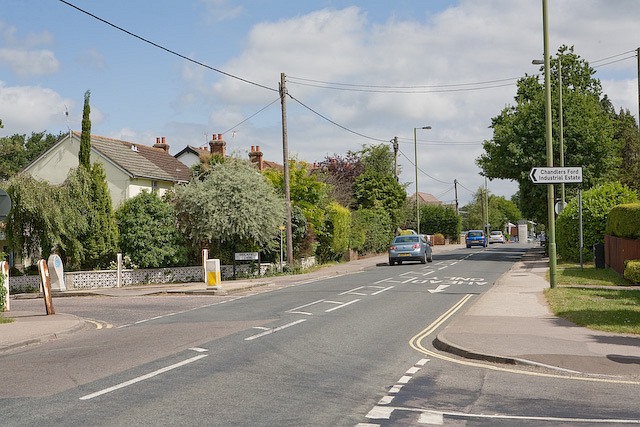
Image: © Peter Facey Taken: 28 Jun 2008
Brickfield Lane is at left and provides access to Chandler's Ford Industrial Estate. Keble Road is in right foreground. The grid line runs along the base of the picture.
Images are licensed for reuse under creativecommons.org/licenses/by-sa/2.0
Image Location
Latitude
50.977804
Longitude
-1.387456