Looking along Brickfield Lane, Chandler's Ford
Introduction
The photograph on this page of Looking along Brickfield Lane, Chandler's Ford by Peter Facey as part of the Geograph project.
The Geograph project started in 2005 with the aim of publishing, organising and preserving representative images for every square kilometre of Great Britain, Ireland and the Isle of Man.

There are currently over 7.5m images from over 14,400 individuals and you can help contribute to the project by visiting https://www.geograph.org.uk
Looking along Brickfield Lane, Chandler's Ford
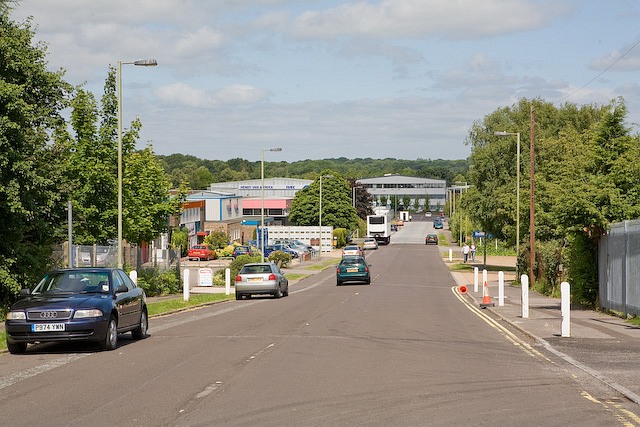
Image: © Peter Facey Taken: 28 Jun 2008
This shows the full length of the lane, from Bournemouth Road (behind camera) to School Lane (far distance). Brickfield Lane is part of Chandler's Ford Industrial Estate.
Images are licensed for reuse under creativecommons.org/licenses/by-sa/2.0
Image Location
Latitude
50.978711
Longitude
-1.388868