Aldorough Bridge (2)
Introduction
The photograph on this page of Aldorough Bridge (2) by Willie Duffin as part of the Geograph project.
The Geograph project started in 2005 with the aim of publishing, organising and preserving representative images for every square kilometre of Great Britain, Ireland and the Isle of Man.

There are currently over 7.5m images from over 14,400 individuals and you can help contribute to the project by visiting https://www.geograph.org.uk
Aldorough Bridge (2)
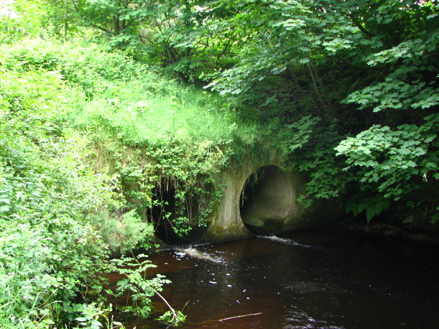
Image: © Willie Duffin Taken: 27 Jun 2008
This is the Aldorough bridge from the rivers edge and shows just how overgrown it has become.
Images are licensed for reuse under creativecommons.org/licenses/by-sa/2.0
Image Location


Leaflet Map data © OpenStreetMap
Latitude
55.082549
Longitude
-6.286109