Entrance to Whytings Farm, Magpie Lane, West Sussex
Introduction
The photograph on this page of Entrance to Whytings Farm, Magpie Lane, West Sussex by Pete Chapman as part of the Geograph project.
The Geograph project started in 2005 with the aim of publishing, organising and preserving representative images for every square kilometre of Great Britain, Ireland and the Isle of Man.

There are currently over 7.5m images from over 14,400 individuals and you can help contribute to the project by visiting https://www.geograph.org.uk
Entrance to Whytings Farm, Magpie Lane, West Sussex
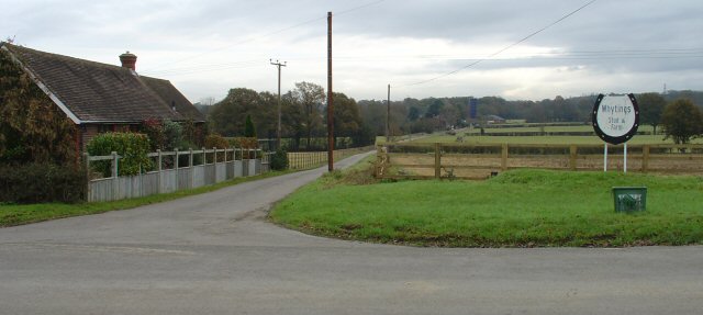
Image: © Pete Chapman Taken: 30 Nov 2005
The farm is approx 600m E along this metalled track. The Horseshoe shaped sign describes Whytings as a "Stud and Farm". Horse breeding and training is common throughout this part of Sussex. The house on the Left is called "Ashwins".
Images are licensed for reuse under creativecommons.org/licenses/by-sa/2.0
Image Location


Leaflet Map data © OpenStreetMap
Latitude
51.042702
Longitude
-0.308204