Former building of Harborne Methodist Church
Introduction
The photograph on this page of Former building of Harborne Methodist Church by Rebecca as part of the Geograph project.
The Geograph project started in 2005 with the aim of publishing, organising and preserving representative images for every square kilometre of Great Britain, Ireland and the Isle of Man.

There are currently over 7.5m images from over 14,400 individuals and you can help contribute to the project by visiting https://www.geograph.org.uk
Former building of Harborne Methodist Church
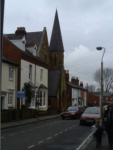
Image: © Rebecca Taken: 28 Mar 2001
Until 2005 this church on South Street was home to Harborne's Methodist congregation. It is to be developed, with the (listed) exterior preserved.
Images are licensed for reuse under creativecommons.org/licenses/by-sa/2.0
Image Location


Leaflet Map data © OpenStreetMap
Latitude
52.45754
Longitude
-1.94992