The (former) Three Horseshoes, Goulceby
Introduction
The photograph on this page of The (former) Three Horseshoes, Goulceby by Tim Heaton as part of the Geograph project.
The Geograph project started in 2005 with the aim of publishing, organising and preserving representative images for every square kilometre of Great Britain, Ireland and the Isle of Man.

There are currently over 7.5m images from over 14,400 individuals and you can help contribute to the project by visiting https://www.geograph.org.uk
The (former) Three Horseshoes, Goulceby
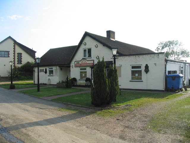
Image: © Tim Heaton Taken: 5 Jun 2008
Slavishly following the Viking Way to a 'PH' symbol on the OS map, with tongues hanging out, and we find its permanently closed! But the landlord and lady were still resident, and gave us a beer - 'on the house'. A good end to our first session along the Way.
Images are licensed for reuse under creativecommons.org/licenses/by-sa/2.0
Image Location


Leaflet Map data © OpenStreetMap
Latitude
53.293587
Longitude
-0.12052