Farm building conversion on Coombe Lane
Introduction
The photograph on this page of Farm building conversion on Coombe Lane by Nick Smith as part of the Geograph project.
The Geograph project started in 2005 with the aim of publishing, organising and preserving representative images for every square kilometre of Great Britain, Ireland and the Isle of Man.

There are currently over 7.5m images from over 14,400 individuals and you can help contribute to the project by visiting https://www.geograph.org.uk
Farm building conversion on Coombe Lane
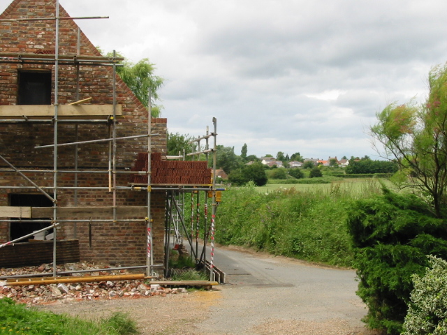
Image: © Nick Smith Taken: 27 Jun 2008
The houses in the background are on New Street on the outskirts of Ash, (and thanks to the lady who allowed me to park behind this conversion, as there are very few places to stop along this narrow country lane).
Images are licensed for reuse under creativecommons.org/licenses/by-sa/2.0
Image Location
Latitude
51.270679
Longitude
1.292035