Footpath to Graiseley Hill
Introduction
The photograph on this page of Footpath to Graiseley Hill by Annette Randle as part of the Geograph project.
The Geograph project started in 2005 with the aim of publishing, organising and preserving representative images for every square kilometre of Great Britain, Ireland and the Isle of Man.

There are currently over 7.5m images from over 14,400 individuals and you can help contribute to the project by visiting https://www.geograph.org.uk
Footpath to Graiseley Hill
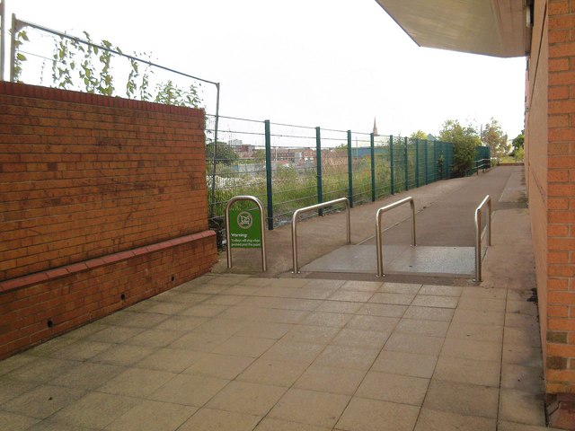
Image: © Annette Randle Taken: 20 Jun 2008
On the left a demolished factory site, on the right Waitrose supermarket. The spire of St. John's church can be seen in the distance.
Images are licensed for reuse under creativecommons.org/licenses/by-sa/2.0
Image Location
Latitude
52.57614
Longitude
-2.134829