Becka Brook
Introduction
The photograph on this page of Becka Brook by Derek Harper as part of the Geograph project.
The Geograph project started in 2005 with the aim of publishing, organising and preserving representative images for every square kilometre of Great Britain, Ireland and the Isle of Man.

There are currently over 7.5m images from over 14,400 individuals and you can help contribute to the project by visiting https://www.geograph.org.uk
Becka Brook
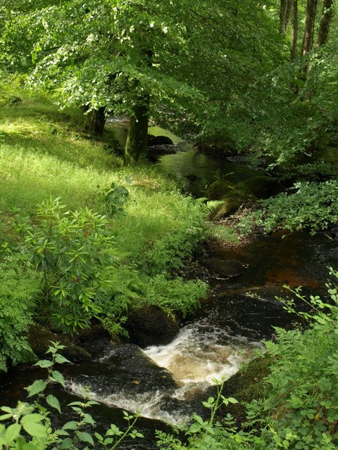
Image: © Derek Harper Taken: 22 Jun 2008
Looking downstream from Image, as the stream drops steadily from pool to pool. The Becka Brook drops some 320 metres in its 6 mile course to join the Bovey.
Images are licensed for reuse under creativecommons.org/licenses/by-sa/2.0
Image Location
Latitude
50.600622
Longitude
-3.761989