Aldbourne Post Office and stores
Introduction
The photograph on this page of Aldbourne Post Office and stores by Jonathan Billinger as part of the Geograph project.
The Geograph project started in 2005 with the aim of publishing, organising and preserving representative images for every square kilometre of Great Britain, Ireland and the Isle of Man.

There are currently over 7.5m images from over 14,400 individuals and you can help contribute to the project by visiting https://www.geograph.org.uk
Aldbourne Post Office and stores
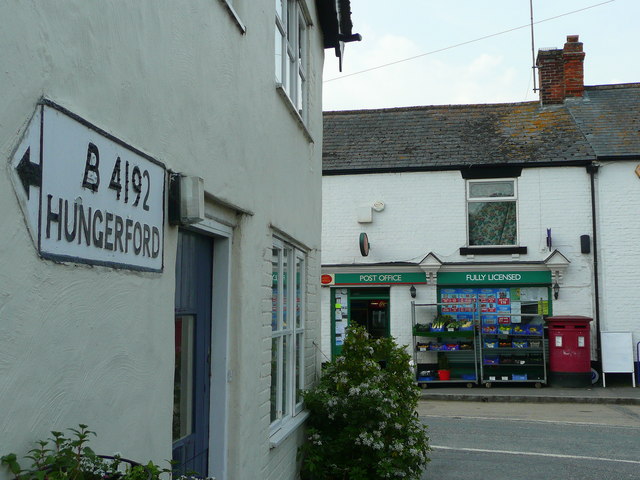
Image: © Jonathan Billinger Taken: 22 May 2008
A thriving store in a thriving village, see; http://www.aldbourne.org.uk/awg/portal/main/welcome.asp The old road sign has been adapted when the main road between Swindon and Hungerford was reclassified from the A419 to the B4192, after the opening of the M4 in the 1960's.
Images are licensed for reuse under creativecommons.org/licenses/by-sa/2.0
Image Location
Latitude
51.478296
Longitude
-1.620961