Langdale Road looking west
Introduction
The photograph on this page of Langdale Road looking west by Alan Murray-Rust as part of the Geograph project.
The Geograph project started in 2005 with the aim of publishing, organising and preserving representative images for every square kilometre of Great Britain, Ireland and the Isle of Man.

There are currently over 7.5m images from over 14,400 individuals and you can help contribute to the project by visiting https://www.geograph.org.uk
Langdale Road looking west
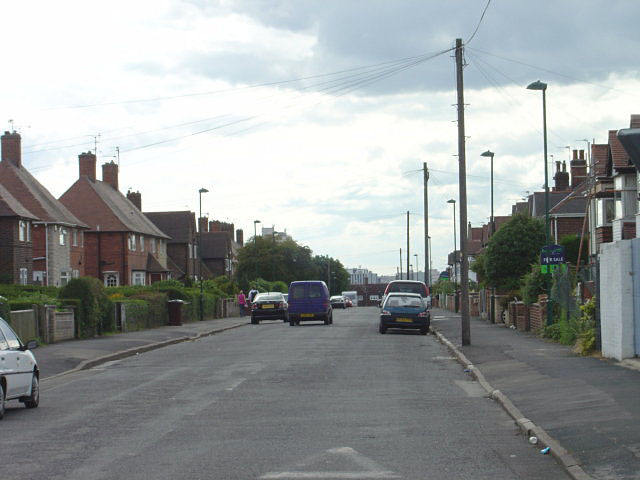
Image: © Alan Murray-Rust Taken: 20 Jun 2008
This is the last of the 'dales', and marks the change from private to council development. Interestingly the council development has longer front gardens than the private!
Images are licensed for reuse under creativecommons.org/licenses/by-sa/2.0
Image Location
Latitude
52.958505
Longitude
-1.10574