Peartree Corner: Junction of A272 and Burnthouse Lane, West Sussex.
Introduction
The photograph on this page of Peartree Corner: Junction of A272 and Burnthouse Lane, West Sussex. by Pete Chapman as part of the Geograph project.
The Geograph project started in 2005 with the aim of publishing, organising and preserving representative images for every square kilometre of Great Britain, Ireland and the Isle of Man.

There are currently over 7.5m images from over 14,400 individuals and you can help contribute to the project by visiting https://www.geograph.org.uk
Peartree Corner: Junction of A272 and Burnthouse Lane, West Sussex.
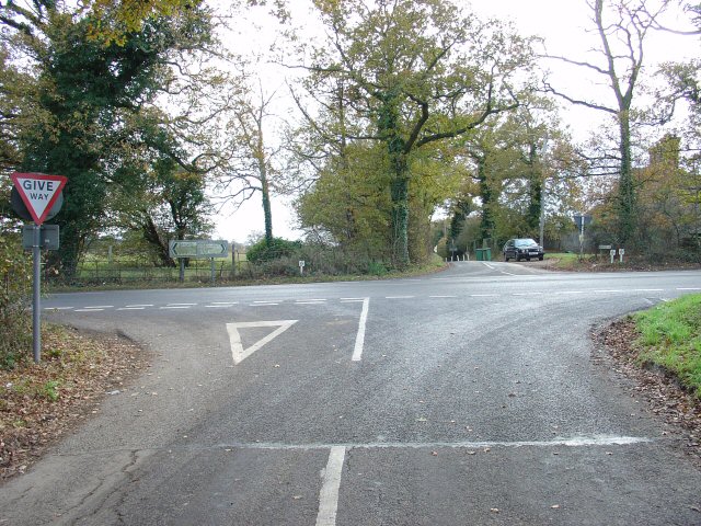
Image: © Pete Chapman Taken: 30 Nov 2005
Near to The Clock House Image Burnthouse lane (behind the photographer) leads N from this crossroads.
Images are licensed for reuse under creativecommons.org/licenses/by-sa/2.0
Image Location


Leaflet Map data © OpenStreetMap
Latitude
50.992098
Longitude
-0.29152