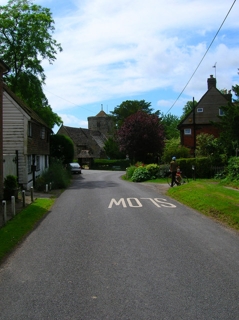
Old Village Centre
Introduction
The photograph on this page of Old Village Centre by Simon Carey as part of the Geograph project.
The Geograph project started in 2005 with the aim of publishing, organising and preserving representative images for every square kilometre of Great Britain, Ireland and the Isle of Man.
There are currently over 7.5m images from over 14,400 individuals and you can help contribute to the project by visiting https://www.geograph.org.uk

Image: © Simon Carey Taken: 26 Jun 2008
Looking down Street Lane towards St Peter's Church which is actually in the next grid square. This is the old centre of the village which moved eastwards towards the modern B2028, a former major London-Brighton coaching route, taking over the hamlet of Hapstead Green.The track to the right occupied by the cyclists is Wakehurst Lane which prior to the construction of the South of England Showground linked Wakehurst Place to the church.

