Brook Farm, West Sussex
Introduction
The photograph on this page of Brook Farm, West Sussex by Pete Chapman as part of the Geograph project.
The Geograph project started in 2005 with the aim of publishing, organising and preserving representative images for every square kilometre of Great Britain, Ireland and the Isle of Man.

There are currently over 7.5m images from over 14,400 individuals and you can help contribute to the project by visiting https://www.geograph.org.uk
Brook Farm, West Sussex
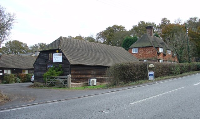
Image: © Pete Chapman Taken: 30 Nov 2005
Situated on the E side of the A281, quarter of a mile N of the centre of Cowfold. The barn and some other surrounding buildings are used as commercial premises.
Images are licensed for reuse under creativecommons.org/licenses/by-sa/2.0
Image Location


Leaflet Map data © OpenStreetMap
Latitude
50.994522
Longitude
-0.272905