Junction of A272, Spronkett's Lane and Wineham Lane, West Sussex
Introduction
The photograph on this page of Junction of A272, Spronkett's Lane and Wineham Lane, West Sussex by Pete Chapman as part of the Geograph project.
The Geograph project started in 2005 with the aim of publishing, organising and preserving representative images for every square kilometre of Great Britain, Ireland and the Isle of Man.

There are currently over 7.5m images from over 14,400 individuals and you can help contribute to the project by visiting https://www.geograph.org.uk
Junction of A272, Spronkett's Lane and Wineham Lane, West Sussex
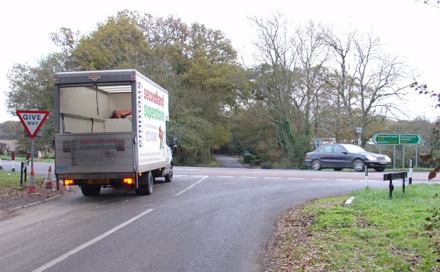
Image: © Pete Chapman Taken: 30 Nov 2005
A272 is the main road passing E-W across the junction. Wineham Lane leads S (to Wineham). Spronkets Lane (behind the photographer) goes N to Warninglid.
Images are licensed for reuse under creativecommons.org/licenses/by-sa/2.0
Image Location
Latitude
50.990309
Longitude
-0.231739