Into the valley.
Introduction
The photograph on this page of Into the valley. by Peter Whatley as part of the Geograph project.
The Geograph project started in 2005 with the aim of publishing, organising and preserving representative images for every square kilometre of Great Britain, Ireland and the Isle of Man.

There are currently over 7.5m images from over 14,400 individuals and you can help contribute to the project by visiting https://www.geograph.org.uk
Into the valley.
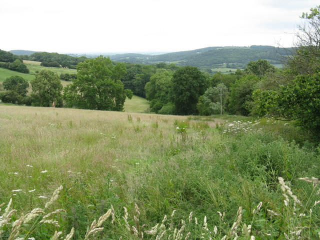
Image: © Peter Whatley Taken: 26 Jun 2008
The footpath opposite Snails Bank Cottages descends steeply into the Cradley Brook's valley.
Images are licensed for reuse under creativecommons.org/licenses/by-sa/2.0
Image Location


Leaflet Map data © OpenStreetMap
Latitude
52.131899
Longitude
-2.418651