River Orwell foreshore
Introduction
The photograph on this page of River Orwell foreshore by Bob Jones as part of the Geograph project.
The Geograph project started in 2005 with the aim of publishing, organising and preserving representative images for every square kilometre of Great Britain, Ireland and the Isle of Man.

There are currently over 7.5m images from over 14,400 individuals and you can help contribute to the project by visiting https://www.geograph.org.uk
River Orwell foreshore
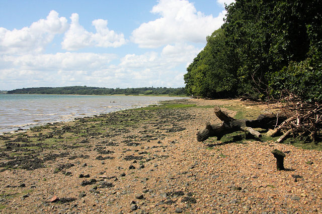
Image: © Bob Jones Taken: 25 Jun 2008
The passage of large vessels in the River Orwell creates a wash which, combined with spring tides, helps to erode the banks of the river. Areas of saltmarsh are few and far between and here, near Nacton Quay, where there is no such restriction, trees have been undermined and lie on the shoreline.
Images are licensed for reuse under creativecommons.org/licenses/by-sa/2.0
Image Location
Latitude
52.008074
Longitude
1.213438