The Kensington Arms (former)
Introduction
The photograph on this page of The Kensington Arms (former) by Phillip Perry as part of the Geograph project.
The Geograph project started in 2005 with the aim of publishing, organising and preserving representative images for every square kilometre of Great Britain, Ireland and the Isle of Man.

There are currently over 7.5m images from over 14,400 individuals and you can help contribute to the project by visiting https://www.geograph.org.uk
The Kensington Arms (former)
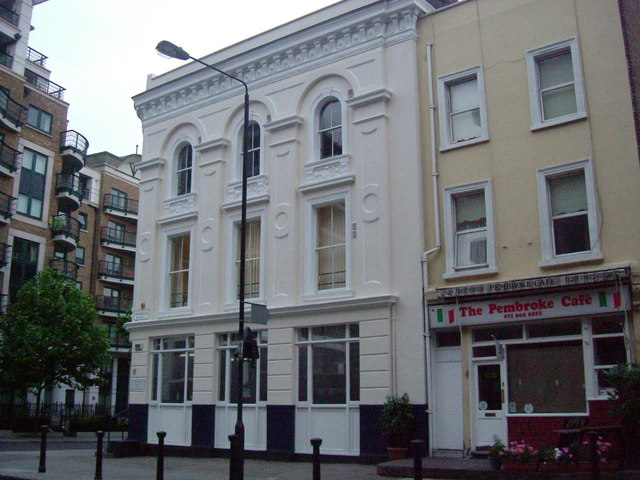
Image: © Phillip Perry Taken: 25 Jun 2008
The big building in the middle used to be The Kensington Arms and is now offices for Kensington & Chelsea council, on the corner of Warwick Road, W14 and Pembroke Road, W8
Images are licensed for reuse under creativecommons.org/licenses/by-sa/2.0
Image Location
Latitude
51.494607
Longitude
-0.201057