Cornard Mere information board
Introduction
The photograph on this page of Cornard Mere information board by Bob Jones as part of the Geograph project.
The Geograph project started in 2005 with the aim of publishing, organising and preserving representative images for every square kilometre of Great Britain, Ireland and the Isle of Man.

There are currently over 7.5m images from over 14,400 individuals and you can help contribute to the project by visiting https://www.geograph.org.uk
Cornard Mere information board
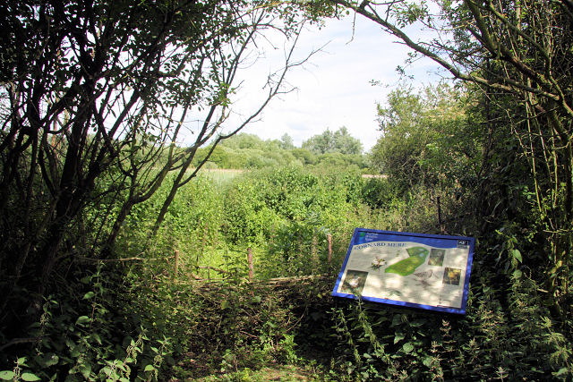
Image: © Bob Jones Taken: 24 Jun 2008
This board is tucked away, just off a footpath leading from Stone Farm on the B1508, to Moor's Farm, Great Cornard. Two areas of open water were created ten years ago and can only be accessed from this footpath, although it is not possible to reach the water's edge. The Mere attracts a rich variety of wildlife, from marginal aquatic plants to insects and wildfowl.
Images are licensed for reuse under creativecommons.org/licenses/by-sa/2.0
Image Location


Leaflet Map data © OpenStreetMap
Latitude
52.014943
Longitude
0.750568