Brockholes Lane, Brockholes
Introduction
The photograph on this page of Brockholes Lane, Brockholes by Humphrey Bolton as part of the Geograph project.
The Geograph project started in 2005 with the aim of publishing, organising and preserving representative images for every square kilometre of Great Britain, Ireland and the Isle of Man.

There are currently over 7.5m images from over 14,400 individuals and you can help contribute to the project by visiting https://www.geograph.org.uk
Brockholes Lane, Brockholes
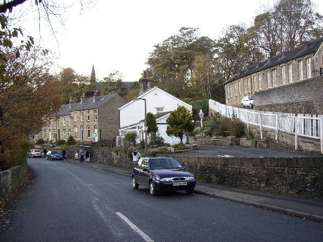
Image: © Humphrey Bolton Taken: 29 Nov 2005
The building on the right is the former primary school, now a village hall; there was a National (church) School there in 1850. The present school is behind. St George's Church, built in 1863, is in the distance.
Images are licensed for reuse under creativecommons.org/licenses/by-sa/2.0
Image Location


Leaflet Map data © OpenStreetMap
Latitude
53.594455
Longitude
-1.770309